Earth and Atmospheric Sciences
Tiffany Lee, September 6, 2018 | View original publication
Nebraska researchers to lead largest drone-based study of storms
The University of Nebraska-Lincoln will lead the most ambitious drone-based investigation of severe storms and tornadoes ever conducted.
More than 50 scientists and students from four universities will participate in the TORUS (Targeted Observation by Radars and UAS of Supercells) study, deploying a broad suite of cutting-edge instrumentation into the US Great Plains during the 2019 and 2020 storm seasons. The project will exceed $2.5 million, with the National Science Foundation awarding a three-year, $2.4 million grant and the National Oceanic and Atmospheric Administration providing additional financial support.
It is the largest-ever study of its kind, based upon the geographical area covered and the number of drones and other assets deployed, according to Nebraska’s Adam Houston.
The project will involve four unmanned aircraft systems or drones, a NOAA P3 manned aircraft, eight mesonet trucks equipped with meteorological instruments, three mobile radar systems, a mobile LIDAR system, and three balloon-borne sensor launchers. The University of Colorado Boulder, Texas Tech University and the University of Oklahoma, along with the National Severe Storms Laboratory also are participating.
“We are flying more aircraft at the same time,” said Houston, associate professor of Earth and atmospheric sciences and one of seven principal investigators. “We’ve only flown one drone in the past, now we’re going to fly four. We can fly in more parts of the storm at the same time, get more data and answer a more extensive set of questions.”
The TORUS team is authorized to operate over approximately 367,000 square miles — virtually all of the Central Plains from North Dakota to Texas, Iowa to Wyoming and Colorado. The aim is to collect high resolution data from within the storm, to improve forecasting for tornadoes and severe storms, Houston said.
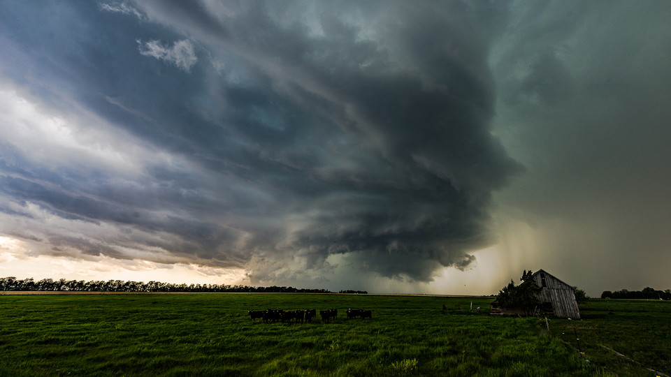
The research goal is use data collected to improve the conceptual model of supercell thunderstorms, the parent storms of the most destructive tornadoes, by exposing how small-scale structures within these storms might lead to tornado formation. These structures are hypothesized to be nearly invisible to all but the most precise research-grade instruments. By revealing the hidden composition of severe storms and associating it to known characteristics of the regularly-observed larger scale environment, the TORUS project could improve supercell and tornado forecasts.
“There are fundamental problems with tornado warnings,” Houston said. “The false alarm rate is high — 75 percent of the time we don’t get a tornado. Yet if you reduce the false alarm rate, you also reduce the rate of detection. We need to improve that gap to save lives. We can do that if we can improve our understanding of small-scale structures and small-scale processes that lead up to storms.”
“We want to know how the storm influences the environment, and vice versa, in the seconds, minutes and hours leading up to the storm and afterwards.”
The Central Plains, aka “Tornado Alley,” serves as a great laboratory to better understand severe storms, he said.
“Every place in the United States is vulnerable to super cell thunderstorms. What we learn in this laboratory called the Central Plains is applicable to everywhere — it’s geographically agnostic.”
Research preparations began Sept. 1. The TORUS team will begin fieldwork May 13, locating where they see a promising weather pattern developing. Their fieldwork will continue until June 16, with a goal of staying out as long as possible.
It is dangerous work, Houston said.
“There’s no getting around it. We’re putting ourselves in the path of these serious storms.”


