Cara Pesek, December 16, 2024
Nebraska Mesonet launches improved, real-time weather data
The Nebraska Mesonet, a critical tool for weather monitoring and data collection across the state, has launched a redesigned, user-friendly website offering real-time weather data. The upgrade comes as the mesonet is growing its network of weather monitoring stations across Nebraska to offer more accurate data.
Through the new website, the mesonet delivers “data on demand,” updating every minute to provide current conditions. Previously, data could lag by an hour or more.
“Especially for severe weather or agriculture, knowing what’s happening right now is vital,” said Ruben Behnke, Nebraska Mesonet manager. “Whether it’s monitoring storms or gauging heat stress for cattle, conditions from 20 minutes ago simply aren’t as useful.”
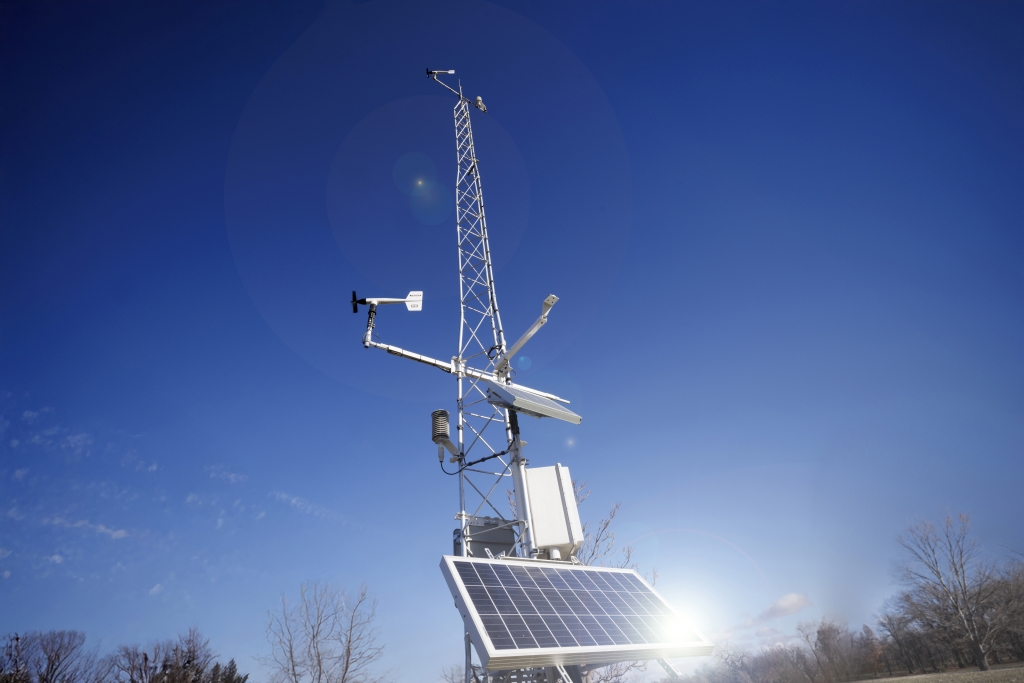
The Nebraska Mesonet is a statewide network of 74 automated weather monitoring stations designed to provide high-quality environmental and meteorological data in real time. Operated by the University of Nebraska–Lincoln’s Institute of Agriculture and Natural Resources, the mesonet collects information on temperature, humidity, wind speed and direction, solar radiation, precipitation, and soil moisture and temperature, among other data points.
These data are vital for agricultural management, weather forecasting, emergency planning, and research on climate and environmental changes and are used by a wide array of agencies, including the U.S. Department of Agriculture, National Weather Service, Nebraska Emergency Management Agency and Nebraska natural resources districts.
The mesonet began in 1981 with five stations. As demand for weather data grew, the number of stations across the state expanded, peaking at 81. Lack of maintenance funds led to the closure of some stations, and for a few years, the number of stations dipped to 55. But a new partnership with the U.S. Army Corps of Engineers has brought the number back up to 74. Additional funding from the Corps of Engineers, along with NEMA, USDA and NRDs across the state, will add about 50 stations over the next three years to meet growing demand for accurate, high-quality weather data.

The National Drought Mitigation Center uses mesonet data in evaluating drought conditions. The USDA relies on it to evaluate the severity and extent of severe weather events that trigger relief programs such as the Emergency Conservation Program or Livestock Forage Disaster Program. The National Weather Service’s Nebraska offices use it to forecast local weather and monitor severe weather threats. Local emergency management agencies use the data to help forecast, monitor and prevent the impacts of wildfires, flooding and other severe weather conditions. Farmers use the data to determine when to irrigate, apply fertilizer and other inputs, and to make other management decisions. Even NASA is planning to use the mesonet data to validate satellite measurements of soil moisture and temperature.
“Increasingly, agriculture is driven by data and by the weather,” said Derek McLean, dean and director of the university’s Agricultural Research Division. “Interest in and potential uses for these data is growing all the time. This is a critical network for the state to maintain, support and grow.”
The mesonet has also enhanced its technical offerings, including tools like Delta T, an indicator for safe herbicide and pesticide application, and wet bulb globe temperature readings for better heat stress analysis. One of the most popular data products currently available is the Cattle Comfort Index, which lets producers know when their cattle are subject to dangerously high or low temperature conditions. These precise metrics cater to agricultural needs, allowing farmers and cooperatives to optimize practices such as irrigation and fertigation while conserving resources.
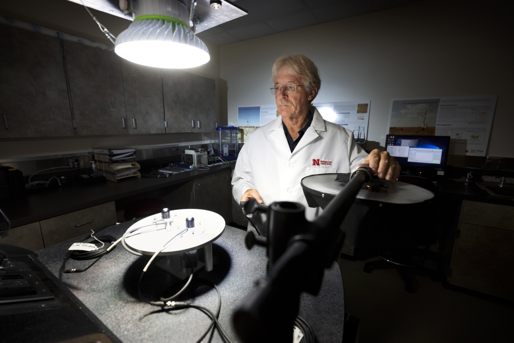
Behnke and the rest of the mesonet team plan to introduce additional features, including crop water use and evapotranspiration, growing degree days, a robust data access tool and live imagery from on-site cameras. Other updates will allow users to build custom applications integrating mesonet data into other systems.
“This is truly the people’s weather network,” Behnke said. “Our goal is to provide the highest-quality data and make it accessible to everyone — whether you’re monitoring local weather for your family, farm or a federal agency.”
For more information on the Nebraska Mesonet or to access up-to-the-minute weather data, click here.
Agriculture Environment Institute of Agriculture and Natural Resources National Drought Mitigation Center Weather


