
Geospatial Technology Helps Restore Wetlands
Millions of migratory birds rest and feed annually in south central Nebraska’s Rainwater Basin, a vital habitat in the heart of the Central Flyway. Yet three-quarters of this nationally significant wetland complex no longer functions properly.
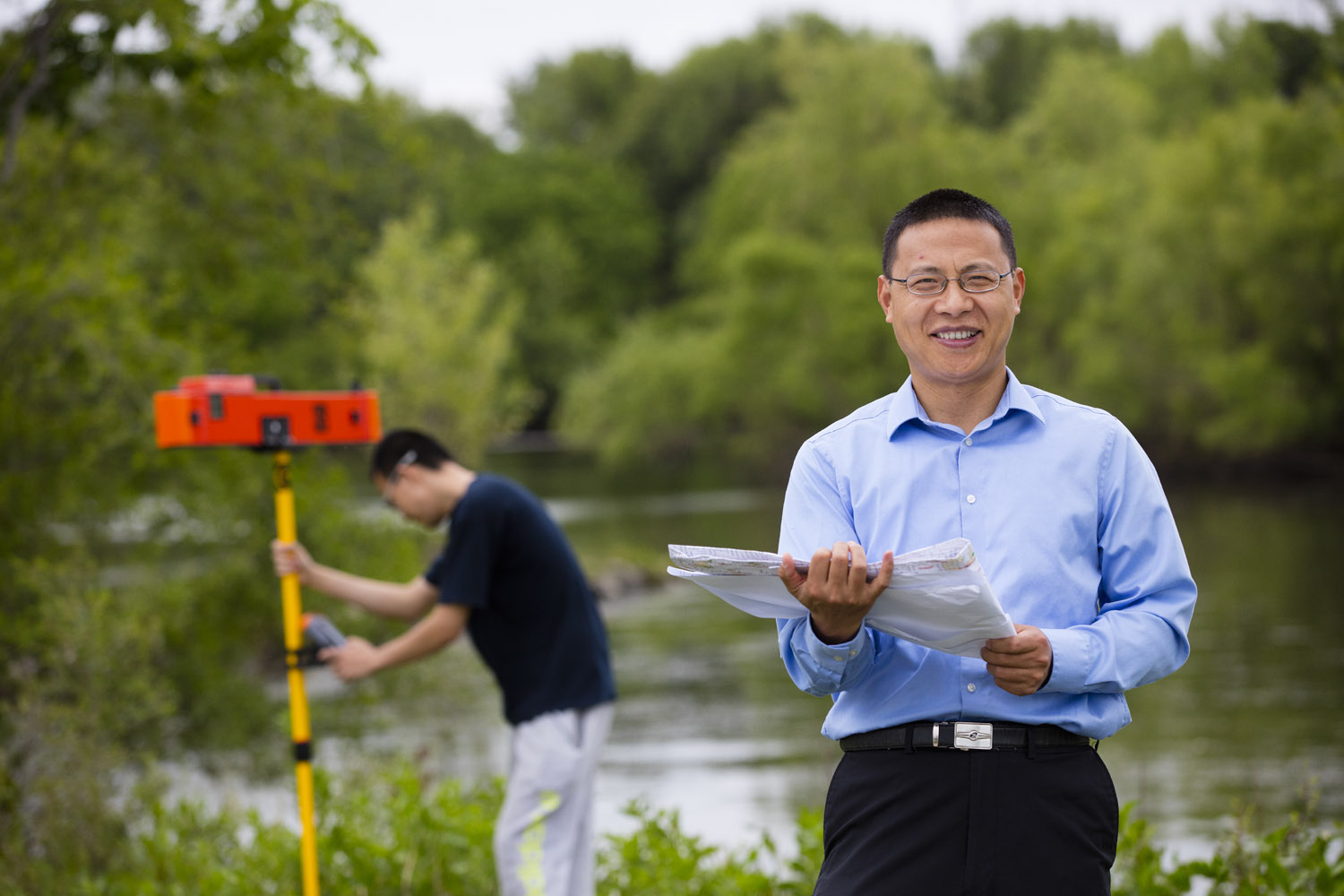
UNL’s Zhenghong Tang, associate professor in community and regional planning, is helping wetland managers evaluate and restore this critical habitat. An expert in environmental planning and geospatial data science, Tang’s research will contribute to wetland conservation efforts globally.
In addition to supporting more than 250 bird species, the basin controls flooding, filters runoff and replenishes aquifers. But human activity has diminished the once-vast ecosystem. Accumulating sediment has altered the wetlands’ hydrology and ability to support wildlife.
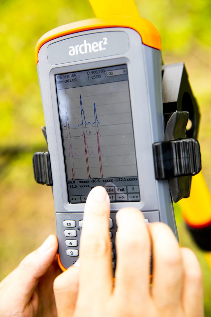
Working with federal, state and local managers, Tang uses several new techniques to evaluate sedimentation and help direct restoration projects. His team recently used ground-penetrating radar to generate sediment maps of the basin. Radar provides faster, more accurate information than traditional soil drilling.
The maps also showed that restoration efforts do make a difference.
“Sedimentation is a big challenge for the wetlands, and agricultural activities could accelerate the soil erosion,” Tang said. “But we found that the wetland areas using conservation practices, such as vegetation buffer zones, reduce sedimentation.”
Droughts also can affect the wetlands. Tang’s team studied the impact of 30 years of climate change on the basin and will use the information to identify the most vulnerable wetlands.
The migratory spectacle draws millions of tourist dollars to the region. To help educate and engage the public, researchers developed a mobile app that visitors can use to obtain detailed wetland information and report observations to officials.
“It’s wonderful to fill the technology gap for federal and state wetland managers by providing more accurate wetland geospatial databases,” Tang said. “It’s also great knowing my work is helping further sustainable land practices and preserving the environmental quality of these wetlands for future generations.”
The U.S. Environmental Protection Agency and U.S. Department of the Interior fund Tang’s research.